What is RTK?
The basics…
RTK stands for Real-Time Kinematic, and it’s a technology used in navigation and surveying to determine precise positions on the Earth’s surface. A super-accurate GPS system.
Here’s how it works:

Regular GPS
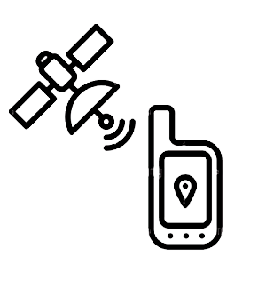
When you use your phone or a standard GPS device, it connects to satellites in space. These satellites send signals to your device, and it uses the information from multiple satellites to figure out where you are. However, this method isn’t super precise; it can be accurate within a few meters, but not centimetres.
RTK GPS
RTK takes GPS accuracy to the next level. It still uses signals from satellites, but it does something extra. It adds another piece of equipment called a “base station” with a known, very precise location. This base station communicates with your GPS device. It sends correction data to your device in real-time.

How it works
The GPS device on the ground receives signals from satellites just like regular GPS.
The base station also receives signals from the same satellites.
The base station knows its exact position because it’s carefully placed and calibrated.
The base station compares its known position with the position it calculates from the satellite signals.
Any differences between the known position and the calculated position are errors.
The base station sends these error corrections to your GPS device.
Your GPS device then applies these corrections to its calculations. This makes your GPS location super accurate, often down to just a centimetre.
RTK is incredibly useful in activities like precise land surveying, farming, construction, drone flight, and even self-driving cars. It helps these applications know their exact location in real time, and navigate with incredible accuracy.
